

 Image 1 of 1
Establish a clear understanding of your site with a professionally prepared Existing Site Plan that accurately records the current layout, buildings and surrounding features before any development takes place.
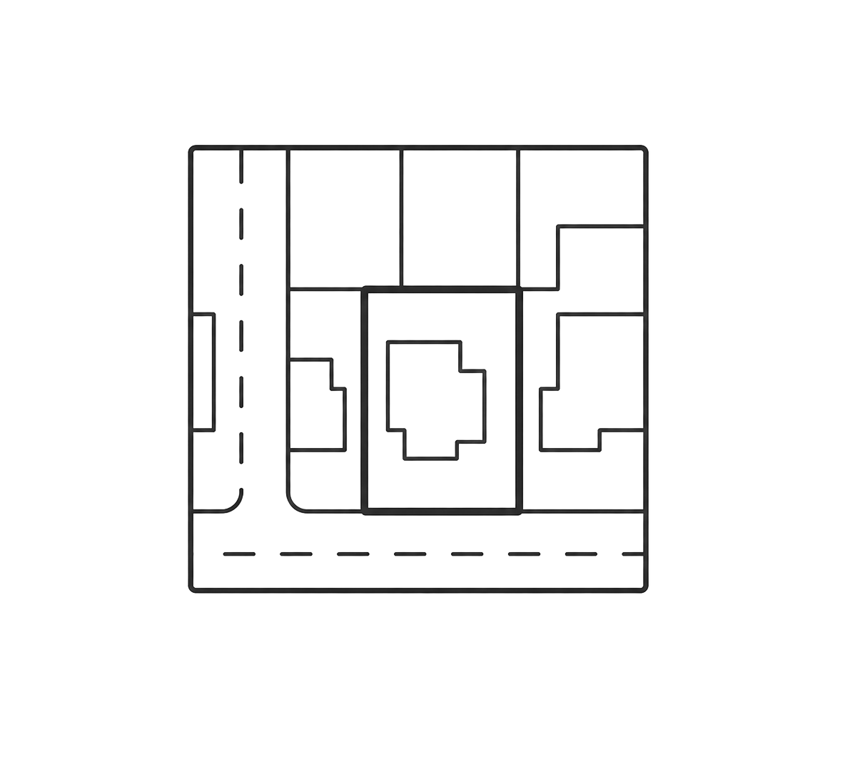
JPM Drafting produces accurate Existing Site Plans from a measured survey and site data, providing a detailed representation of the property as it exists today. The drawing illustrates existing buildings, boundaries, access points, parking areas, hardstanding, landscaping and other significant site features, creating an essential baseline for planning and design.
An Existing Site Plan enables planning officers and other stakeholders to understand the site's current condition and forms the basis for comparing existing and proposed development.
Existing building footprints
Site boundaries and application boundary where applicable
Existing access points and parking arrangements
Existing hardstanding, paths and external features
Existing trees, landscaping and significant site features where surveyed
Digital PDF drawing suitable for planning submissions
An Existing Site Plan provides the foundation for understanding how a site currently functions and is an essential drawing for many planning applications. It clearly records the existing arrangement of buildings, access and external spaces, enabling planning officers to assess the proposed changes with confidence.
Every Existing Site Plan is prepared from our accurate measured survey and Digital Twin, ensuring consistency across your planning drawings and providing a reliable starting point for the design and planning process.
Establish a clear understanding of your site with a professionally prepared Existing Site Plan that accurately records the current layout, buildings and surrounding features before any development takes place.
JPM Drafting produces accurate Existing Site Plans from a measured survey and site data, providing a detailed representation of the property as it exists today. The drawing illustrates existing buildings, boundaries, access points, parking areas, hardstanding, landscaping and other significant site features, creating an essential baseline for planning and design.
An Existing Site Plan enables planning officers and other stakeholders to understand the site's current condition and forms the basis for comparing existing and proposed development.
Existing building footprints
Site boundaries and application boundary where applicable
Existing access points and parking arrangements
Existing hardstanding, paths and external features
Existing trees, landscaping and significant site features where surveyed
Digital PDF drawing suitable for planning submissions
An Existing Site Plan provides the foundation for understanding how a site currently functions and is an essential drawing for many planning applications. It clearly records the existing arrangement of buildings, access and external spaces, enabling planning officers to assess the proposed changes with confidence.
Every Existing Site Plan is prepared from our accurate measured survey and Digital Twin, ensuring consistency across your planning drawings and providing a reliable starting point for the design and planning process.