

 Image 1 of 1
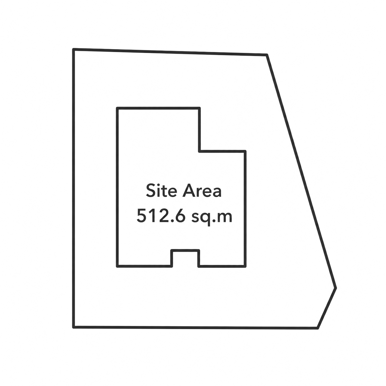
Clearly define the extent of your land with a professionally prepared Site Area Plan that identifies the site boundary and total land area for planning, development and land ownership purposes.
JPM Drafting produces accurate Site Area Plans to illustrate the full extent of a site, including land ownership boundaries, development areas and surrounding context where required. These plans are commonly used to support planning applications, land transactions, feasibility studies and development appraisals, providing a clear understanding of the land available for development.
Prepared using reliable mapping data and coordinated with your other planning drawings, our Site Area Plans help ensure that the correct site extent is presented from the outset of your project.
Clearly defined site boundary
Site area calculation
Existing buildings and surrounding context
Digital PDF drawing suitable for planning submissions
A Site Area Plan provides a clear and accurate representation of the land associated with your project, helping planning officers, consultants and stakeholders understand the extent of the development site. It is an invaluable drawing for establishing site boundaries, calculating land areas and supporting planning documentation.
Please Note: Depending on the size and location of the site, this drawing may require the purchase of an Ordnance Survey (OS) mapping licence. Where an OS extract is required, the licence fee is charged separately and will vary depending on the area of mapping needed. We will always advise you of any additional costs before proceeding.
Clearly define the extent of your land with a professionally prepared Site Area Plan that identifies the site boundary and total land area for planning, development and land ownership purposes.
JPM Drafting produces accurate Site Area Plans to illustrate the full extent of a site, including land ownership boundaries, development areas and surrounding context where required. These plans are commonly used to support planning applications, land transactions, feasibility studies and development appraisals, providing a clear understanding of the land available for development.
Prepared using reliable mapping data and coordinated with your other planning drawings, our Site Area Plans help ensure that the correct site extent is presented from the outset of your project.
Clearly defined site boundary
Site area calculation
Existing buildings and surrounding context
Digital PDF drawing suitable for planning submissions
A Site Area Plan provides a clear and accurate representation of the land associated with your project, helping planning officers, consultants and stakeholders understand the extent of the development site. It is an invaluable drawing for establishing site boundaries, calculating land areas and supporting planning documentation.
Please Note: Depending on the size and location of the site, this drawing may require the purchase of an Ordnance Survey (OS) mapping licence. Where an OS extract is required, the licence fee is charged separately and will vary depending on the area of mapping needed. We will always advise you of any additional costs before proceeding.